Agriculture de précision basée sur des données géoréférencées
Gérez des jeux de données massifs de drones avec les métadonnées GPS intactes. Entraînez des modèles sur de l'imagerie multi-spectrale. Validez avec l'expertise agronomique.
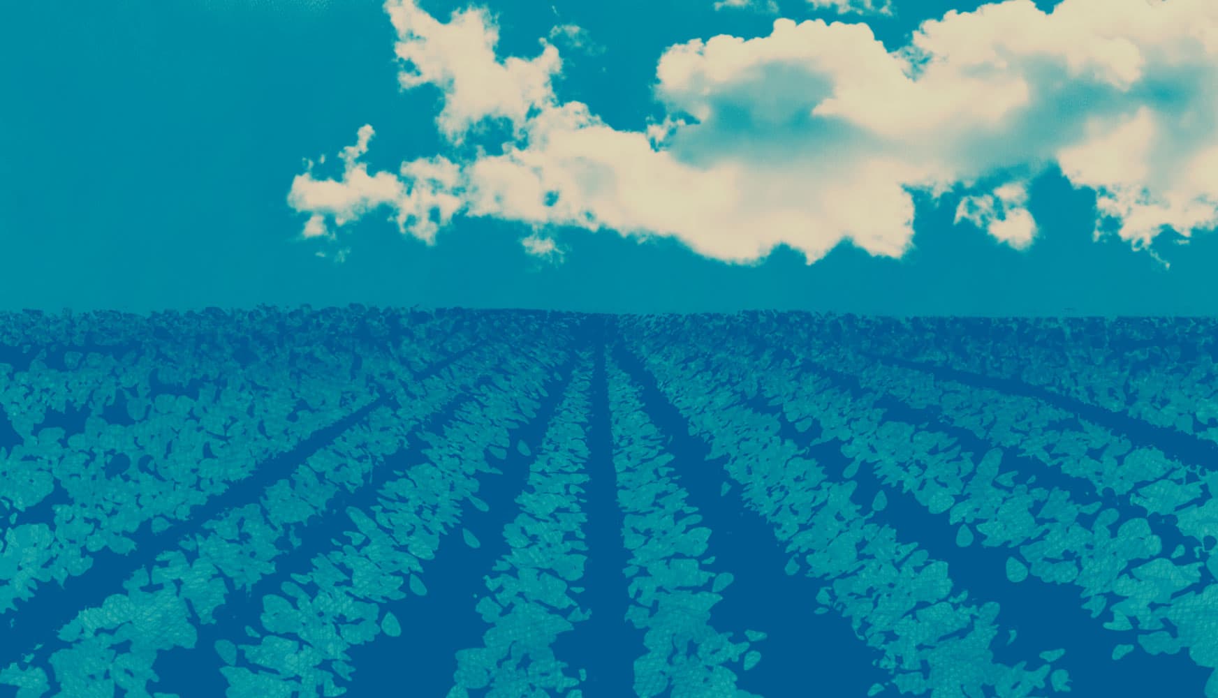
Built for drone-scale imagery
Agricultural imagery is different. Orthomosaics stretch into gigabytes. Every pixel has GPS coordinates. Multi-spectral bands reveal what RGB cannot. Picsellia handles it all — no compromises on data fidelity.
Orthomosaic support
Upload multi-gigabyte stitched maps. Automatic tiling for efficient viewing and annotation.
GPS metadata extraction
Automatic parsing of EXIF coordinates, altitude, heading. Every annotation is geo-referenced.
Multi-spectral layers
RGB, NIR, thermal, NDVI — all linked to the same capture. Switch views during annotation.
Field & plot hierarchy
Organize imagery by farm, field, plot, and season. Query across time to track changes.
Data Ingestion
ProcessingAgronomist expertise in every prediction
AI spots the patterns. Experts confirm the diagnosis. This loop ensures your disease detection and yield models reach the precision agriculture demands.
Expert Review Workflows
Agronomists validate AI predictions
Route low-confidence detections to your agronomists. They confirm disease identifications, correct misclassifications, and add domain knowledge the model lacks.
Active Learning
Smart sampling for maximum impact
Not all samples need expert review. Picsellia identifies the edge cases — unusual disease presentations, ambiguous growth stages, rare conditions — and routes only those for annotation.
From vineyard to broadacre
Picsellia powers precision agriculture across crop types, from high-value vineyards to large-scale row crops.

Crop Health Monitoring
Track plant health across entire fields with drone and satellite imagery. Detect stress, nutrient deficiencies, and growth anomalies before they spread.

Disease Detection
Identify fungal infections, bacterial diseases, and pest damage at early stages. Geo-tagged alerts for precise treatment application.

Yield Estimation
Count fruits, measure crop density, and predict harvest volumes from aerial imagery. Plan logistics with accurate forecasts.

Soil Analysis
Map soil variability, moisture levels, and organic matter content. Create prescription maps for variable-rate application.
Organize seasons of imagery
Agricultural data compounds over time. Query across years, compare seasonal patterns, track field evolution.
Temporal tracking
Link captures to growth stages. Compare same plot across weeks, months, years. Time-series analysis built in.
Spatial hierarchy
Farm → Field → Plot → Row. Organize imagery to match your physical layout. Filter and search by location.
Smart queries
Find all disease detections from July 2024 in Block A. Export with GPS for precision spraying.
Ready to scale your farm analytics?
See how Picsellia handles drone-scale imagery with GPS precision and expert validation.